HOME
Virtual Tours
RENDERS
How it works
PERMIT READY PLANS
Menu
HOME
Virtual Tours
RENDERS
How it works
PERMIT READY PLANS
Get Quote
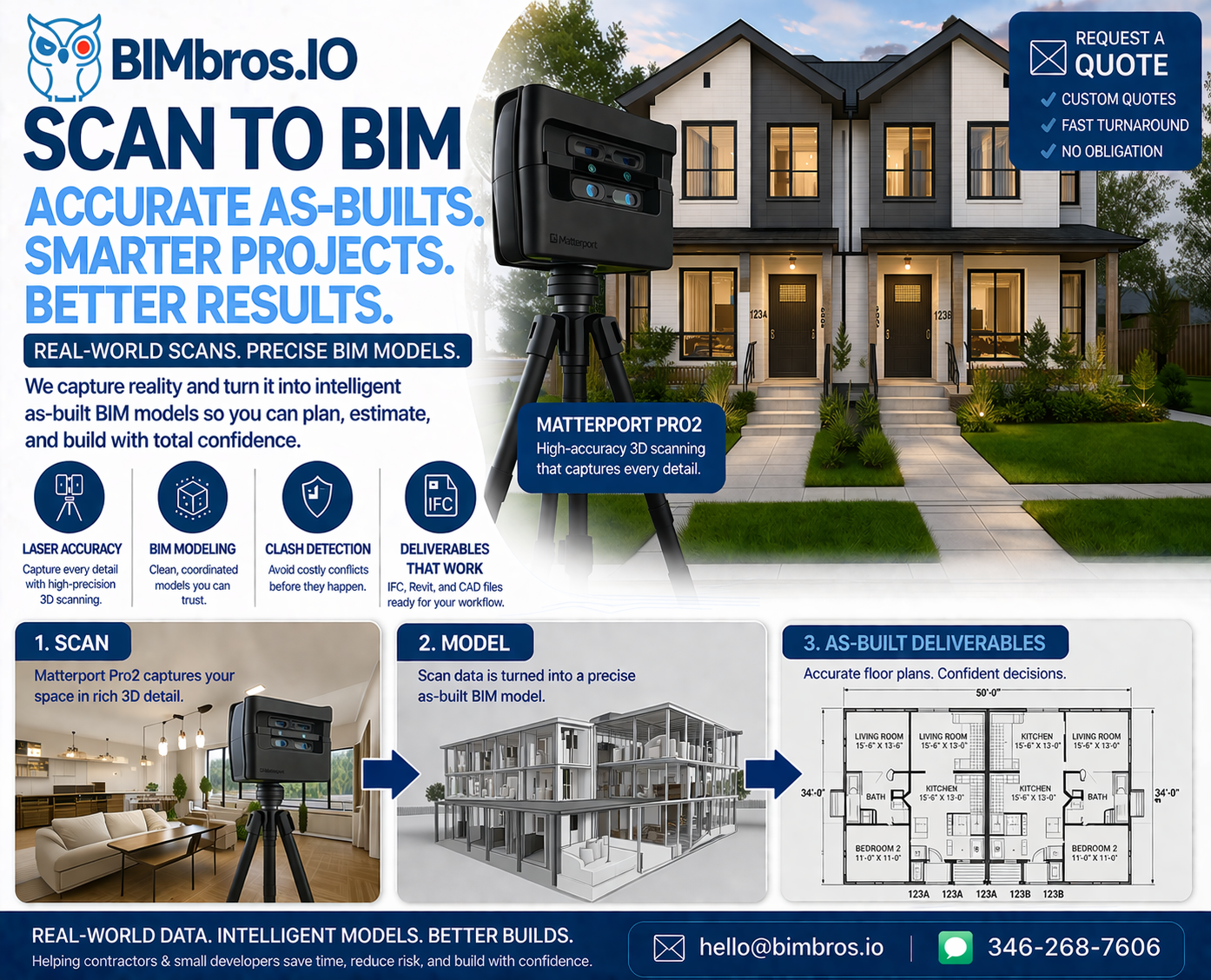
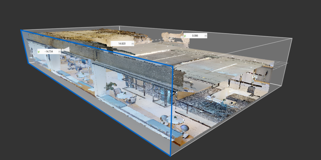
LIDAR SCAN YOUR PROPERTY FAST & ACCURATE
Facebook
Twitter
Youtube
Contact Us
HOME
Virtual Tours
RENDERS
How it works
PERMIT READY PLANS
HOME
Virtual Tours
RENDERS
How it works
PERMIT READY PLANS
Services
HOME
Virtual Tours
RENDERS
How it works
PERMIT READY PLANS
HOME
Virtual Tours
RENDERS
How it works
PERMIT READY PLANS
Quick Links
Contact
Get A Quote
Contact
Get A Quote
Subscribe
Stay up-to-date with the latest projects and industry insights.
Email
Subscribe
© 2025 Bimbros.io. All rights reserved.
Facebook
Linkedin